We may earn revenue from the products available on this page and participate in affiliate programs.
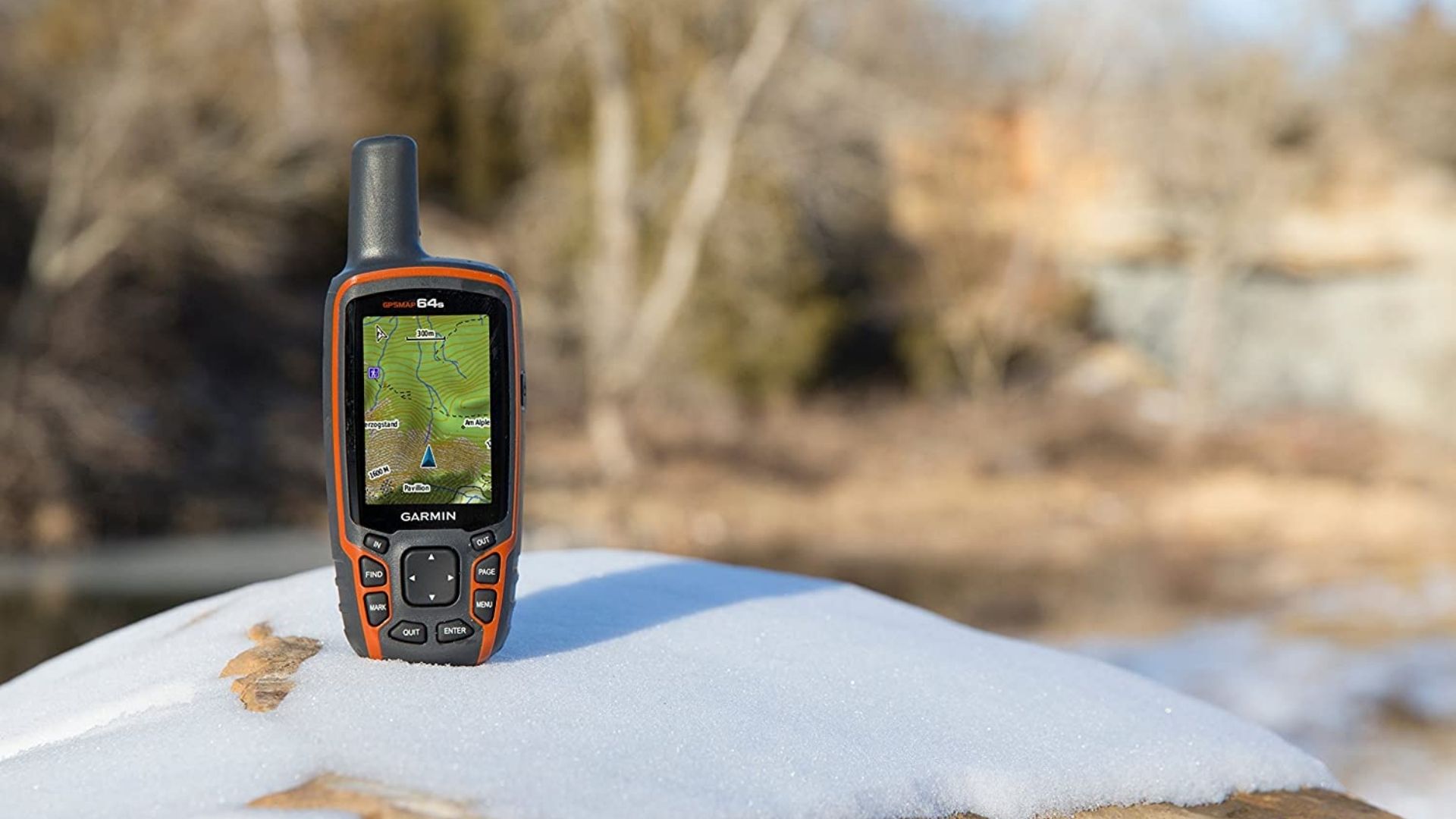
A handheld GPS unit can be a tremendous asset in the field, but you’d better know what you’re doing if you’re going to use one effectively. That starts with understanding the basics of what makes them tick and how to navigate without one.
The GPS (Global Positioning System) network includes 31 satellites owned by the United States. Alternative networks include China’s BeiDou Navigation Satellite System, the European Union’s Galileo system, Russia’s GLONASS, India’s IRNSS (Indian Regional Navigation Satellite System) and NavIC (Navigation Indian Constellation), and Japan’s QZSS (Quasi-Zenith Satellite System).
We found reliable devices that tap into a variety of these networks to bring you accurate, dependable location data all over the world. Whether you’re coordinating troop movements overseas or just finding a great hunting spot, these handheld GPS devices have you covered.
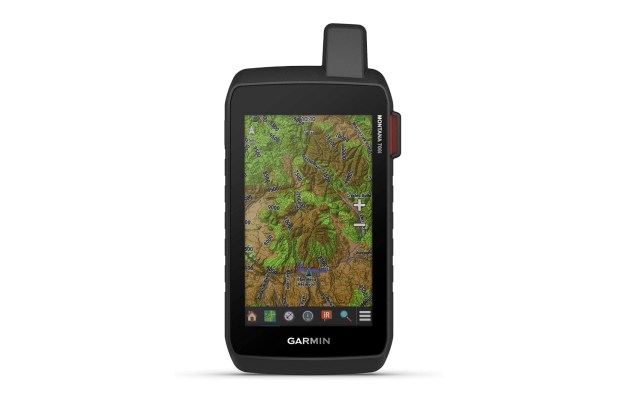
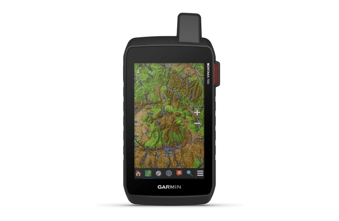
- Best Overall: Garmin Montana 700i
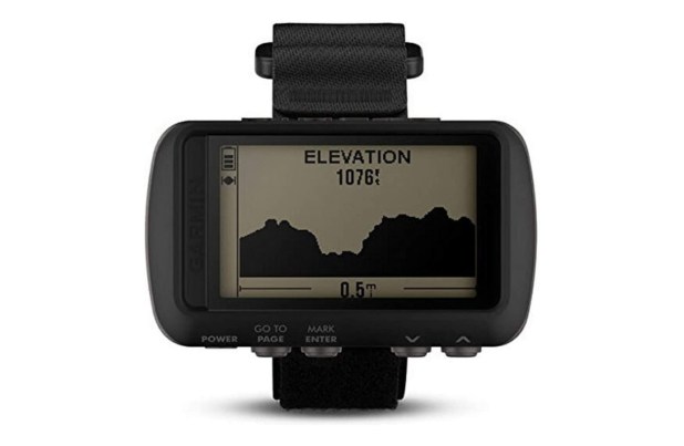
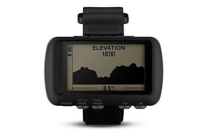
- Best Budget: Garmin Foretrex 601
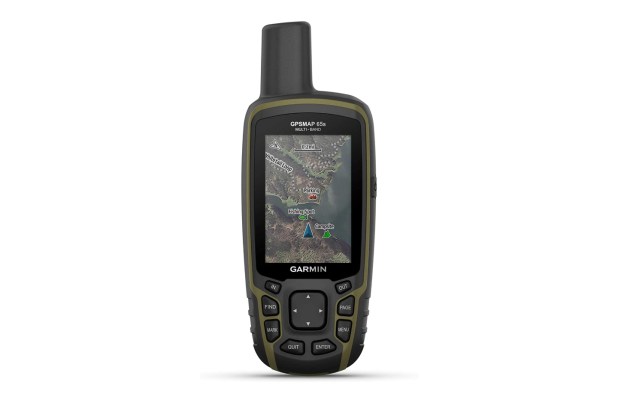
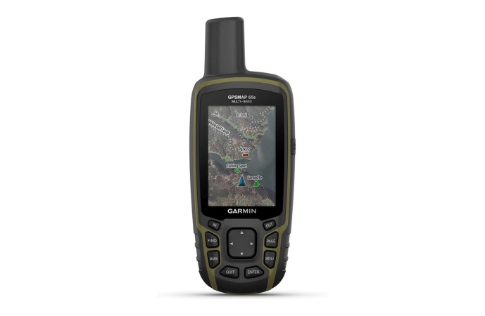
- Best Value: Garmin GPSMAP 65s
- Best for Hunting: onX Hunt
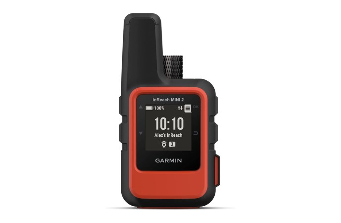
- Best for Hiking: Garmin inReach Mini 2
Best Overall
Garmin Montana 700i
Best Budget
Garmin Foretrex 601
Best Value
Garmin GPSMAP 65s
Best for Hunting
onX Hunt
Best for Hiking
Garmin inReach Mini 2
Things to consider before buying a handheld GPS
Modern handheld GPS navigation systems are very capable, but some are better suited to certain tasks than others. Are you following a trail into the wilderness, finding grid coordinates on a map, or looking for a reliable safety net that can bring you back to the trailhead in a pinch? Once you understand the following factors, you’ll be equipped to choose the best handheld GPS for you.
Satellite networks
GPS has become a ubiquitous term for any kind of digital navigation, but reality is a little more complicated than that. A more accurate term would be GNSS, or global navigation satellite system. This catch-all category includes all satellites used to provide location data.
In most cases, handheld GPS devices designed to work with the U.S. network are able to access other networks, as well. This may not translate to greater accuracy in the U.S., but it will eliminate blind spots and allow you to get accurate readings around the world.
GNSS options include:
- GPS (United States)
- Galileo (European Union)
- GLONASS (Russia)
- QZSS (Japan)
- IRNSS and NavIC (India)
- BeiDou Navigation Satellite System (China)
Memory and waypoints
Once you know where you are in the world, your next step is probably going to be plotting a route to your destination. That usually involves a series of waypoints, and some GPS units can do that better than others. Most manufacturers will specify how many waypoints can be stored. That number will be dictated by how much internal memory the device has.
Altitude, barometer, and compass
The satellites that support your GPS device can determine your altitude, but an onboard barometer can improve accuracy. It can also monitor changes in air pressure to help you monitor the weather and prepare for incoming storms. A built-in compass can be very useful for orienting yourself and moving on the fly. Sight-and-go navigation provides the speed of glancing at a lensatic compass with the accuracy of GPS.
Messaging
Satellite communicators and personal locator beacons can be used anywhere in the world and are not reliant on cellular networks or data plans. That makes them invaluable for people working in remote areas. Some handheld GPS devices incorporate this feature and can even exchange location data with other users. Be aware that this service isn’t cheap; you’ll need to pony up cash for a subscription to take advantage of this capability.
FAQs about handheld GPS
Q: How much does a handheld GPS cost?
A: Garmin is the brand to have in the GPS world, and its most affordable unit costs $110. Handheld GPS prices go up to $800 for the Montana 750i or GPSMAP 276Cx.
Q: Which handheld GPS is the most accurate?
A: All of the handheld GPS devices on this list are very accurate. What varies is the source of that positional information — there are other satellite networks besides GPS. The Garmin GPSMAP 65s can communicate with four satellite networks, which is the most of any product here and should provide the broadest coverage.
Q: What is the easiest handheld GPS to use?
A: The easiest handheld GPS for beginners is probably the phone you use every day. Standard navigational tools like Google Maps, Apple Maps, and Maps.me are fine for everyday use but they aren’t great outside city limits. If you want to experiment with handheld GPS on a budget, check out the Gaia GPS app.
Final thoughts
The Garmin Montana 700 series is the best you can get right now. Whether you prioritize outright navigating power, detailed maps, long battery life, or physical toughness, this handheld GPS has you covered. If you can afford the premium price tag, you’ll end up with an undeniably capable piece of gear.
Methodology
As much as I trust and respect Garmin, I went out of my way to look for alternative brands that might get overlooked based on name recognition. The truth is that no other manufacturers can really go toe-to-toe with Garmin at the moment.
With that established, I conducted a virtual Garmin handheld GPS comparison to determine which ones were best for use in a military environment. I wanted to find products that you can trust in the field, then use to explore the world on your own time. Durability was obviously important in this process, but so was global usability. Finally, I looked for products across the price range because you shouldn’t have to choose between the very best or nothing. There are great handheld GPS units for every budget, and that’s what you see here.
